
Walking
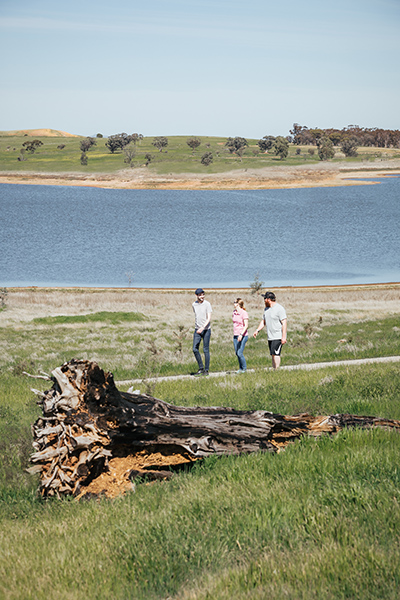
 Lace up your runners and get walking (or running) at Little Para, South Para, Myponga, Hope Valley, Happy Valley, Mount Bold, Warren and Bundaleer reservoir reserves.
Maps on your mobile
If you have a smartphone or tablet you can download the free Avenza Map app and have interactive reservoir reserve maps on hand when you need them.
The app uses your device’s built-in GPS to plot your real-time location within the reserve onto a map. The app can be used without a network connection and without roaming charges. You can also measure area and distance, plot photos and drop placemark pins.
How to get it working on your device:
1. Download the Avenza Maps app from the app store (iOS/Android) whilst you are still in range (its free!).
2. Open up the app and click the shopping cart icon.
3. Click ‘Find’ and type the name of the reservoir reserve you are looking for.
4. Click on the map you are after and install it (all our maps are free).
5. You will now find a list of your installed maps on the home page of the Avenza Maps app.
6. Use our maps through the Avenza Mapa app while in the reserve and never take a wrong turn again.
.
Bundaleer
The 4.5km Reservoir Loop trail takes you around the entire reservoir, including over the dam wall, so you can take in the reservoir from all aspects. The 7km Boundary Loop and 6km Woods Loop also grant you stunning views across the water and take you through woodlands.
Happy Valley
The reserve’s picturesque 11 kilometre Shoreline Loop trail takes you along the water’s edge, through a pine forest, native flora and open grassy areas. It takes about 2 hours and 30 minutes to complete to walk, with the Boundary Loop walk slightly shorter. Both are Grade 4 trails featuring very steep hills and bushwalking experience is recommended.
For a shorter and easier walk, you can take the two kilometre Southern Loop (Grade 2, 25 minutes) with gentle hills, or the four kilometre Woodland Loop (Grade 3, 50 minutes), which has some short steep hills.
There are more than 28 kilometres of trails to explore at Happy Valley Reservoir Reserve. If you’re looking for something a little more vigorous, there is a trail link to Glenthorne National Park – Ityamaiitpinna Yarta, making the combined area more than 1,500 hectares.
Hope Valley
There are a total of 4.6km of trails at Hope Valley, looping around the reservoir reserve, across the dam wall and weaving through native vegetation. The unsealed paths are suitable for walking and running. You can also combine your walk with a workout at the outdoor exercise equipment.
Little Para
More than three kilometres of paths, including a two kilometre loop trail, through native bushland and gentle rolling hills provide an exciting addition to the local green spaces for nearby residents and the local community. A lookout offers visitors a sweeping view across the reservoir towards the dam wall and down the valley.
Mount Bold
Explore more than 13km of trails at Mount Bold, weaving through a pine plantation and native vegetation south of the reservoir, with sweeping views over the water.
The unsealed lookout trail is 1.4km return and takes you up gentle hills to a viewing platform.
The grade 5 hiking trails are suitable for experienced bushwalkers with very steep and difficult hills: The 5km Forest Loop takes you back to the car park, whereas the 9km Wedgetail Trail connects with the Kidman and Heysen walking trails, and the Onkaparinga National Park and Willunga Basin Trail for a more rigorous hiking experience.
Myponga
Myponga’s 10.5km of trails weave through a diverse landscape along the southern shores of the reservoir.
The 3.3km loop on the south-eastern side of the reserve takes you across open plains, through forested areas and native vegetation, and is suitable for families with young children. The unsealed trails are suitable for walking and running.
The 3km western trail is more challenging: The Grade 3 trail requires moderate fitness levels, and bushwalking experience is recommended as it has short steep sections and uneven surfaces.
South Para
With a range of tracks on offer, Explore on foot through a changing landscape of native bushland and plantation forests. From the entrance to the north west peninsula is 2.9km, or you can head to the south west peninsula (2.5km) and south peninsula (2.1km). Pack a picnic and explore these shared use trails leading to water views.
The Grade 3 trails are suitable for most ages and fitness levels with some bushwalking experience recommended.
Warren
Two unsealed trails provide a great bushwalking experience with water views. The 5.5km West Warren Reserve Loop and the 9km East Warren Reservoir Loop are graded as moderate hikes (Grades 3 and 4). They are suitable for most ages and fitness levels with some bushwalking experience recommended.